Land Surveys
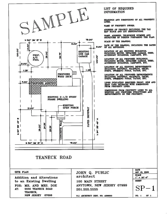
A property survey is a legal document graphically outlining the conditions of a given property in a map format. They are drafted by professional state licensed surveyors or engineers; the homeowner is responsible for obtaining and paying for a survey. Most commonly these are required at the time of the home being purchased. If you do not have a survey one must be obtained prior to applying for any zoning permits. The township does not retain surveys outside of when they are submitted by the owner for proposed work, these surveys generally cannot be reused for multiple projects due to the nature of the work modifying the site conditions.
A survey is required for every zoning permit and must be provided in its original to-scale state. The zoning officer requires the survey to ascertain the existing site conditions and how they impact the proposed work.
A land survey must show locations and distances precisely and accurately on a single sheet of paper. The proportion chosen for a particular land survey is its scale. Simply defined, scale is the relationship between the distance on the survey and the distance on the ground (indicated on the survey as 1” = 10’, 1” = 20’, 1’ = 30’ etc)
The only copy you can be sure that is to scale is the copy that is signed and stamped with a raised seal. All other copies may or may not be to scale depending, on how they were duplicated.
A survey should contain all the current site conditions and setbacks to all applicable structures.
In the case of projects with changes in elevation, topographical calculations may be required to be added by the surveyor.
In case of projects increasing building or lot coverage, coverage calculations may be required to be added by the surveyor.

Contact Us
Township of Teaneck
818 Teaneck Road
Teaneck, NJ 07666
Phone: (201) 837-1600


